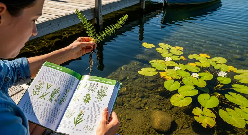
How Aquatic Weed Distribution Is Tracked
Aquatic weed distribution data in the United States is produced and maintained by a network of federal agencies, state programs, university research groups, and citizen science platforms. No single database contains complete, verified, current occurrence records for all species across all states — distribution knowledge is assembled from multiple sources with different coverage, confidence levels, and update frequencies.
The primary national databases we draw from:
- USGS Nonindigenous Aquatic Species (NAS) Database: The authoritative federal repository for non-native aquatic species occurrence records in the United States. Maintained by the U.S. Geological Survey, the NAS database contains vouchered, verified occurrence records contributed by state agencies, researchers, and monitoring programs. Records are geocoded at the waterbody or county level. Available at nas.er.usgs.gov — this is the primary source for invasive species distribution on AquaticWeed.org.
- USDA PLANTS Database: Provides state-level presence/absence for all plant species (including aquatic plants) based on herbarium specimen records and published state flora. Coverage is most complete for charophytes, native aquatic plants, and broadly distributed introduced species. Available at plants.usda.gov.
- State agency records: State departments of natural resources, departments of environmental quality, and fish and wildlife agencies maintain species occurrence databases for regulated species within their jurisdictions. These are often the most current and spatially precise records for state-listed noxious weeds and actively managed invasives. We incorporate state agency data where it is publicly available and current.
- EDDMapS (Early Detection & Distribution Mapping System): A citizen science occurrence mapping platform that aggregates species occurrence reports and is particularly valuable for newly detected and rapidly spreading species. Available at eddmaps.org.
State-Level Distribution Breakdown
AquaticWeed.org presents distribution information at the state level as the baseline geographic unit, with county-level or waterbody-level information where available from the primary sources. State-level presence/absence is the most reliably available and consistently comparable resolution across all species and regions. We use the following categories for each state:
- Established (widespread): The species is confirmed present in multiple waterbodies across the state and actively managed. Management focus is suppression rather than eradication.
- Established (localized): The species is confirmed present but restricted to a small number of waterbodies or a limited geographic area within the state. Eradication may still be feasible.
- Detected (status uncertain): The species has been reported in the state but verification of current status (established vs. eradicated) is incomplete or conflicting in available records.
- Not detected: No confirmed occurrence records in the USGS NAS or state agency databases. Does not necessarily mean the species cannot establish — it means it has not been confirmed as of our last review date.
- Eradicated: Confirmed detections that have been followed by successful eradication, with no recurrence in subsequent monitoring. Eradication is documented for early-detected populations in a small number of cases.
How to Interpret Absence Data

Absence data in biological occurrence databases is fundamentally different from presence data and must be interpreted carefully. A "not detected" record does not mean a species is definitively absent — it means no confirmed occurrence has been recorded in available databases as of the last update. Absence records can reflect actual species absence, or can reflect incomplete survey coverage, limited monitoring programs, unreported detections, or species presence below detection thresholds in early establishment phases.
The practical implication: the absence of a species from your state's record in the USGS NAS database is not a reliable basis for concluding that the species is not present. It is a reason to maintain active early detection vigilance, not to relax prevention measures. For species that are absent from your state but present in adjacent states or within your climate range, proactive prevention is the highest-value investment. Prevention strategies →
Current Distribution Pages on AquaticWeed.org
Distribution information for each of the 9 authority species is presented within the species profile pages and summarized on the distribution sub-pages:
- US Distribution Hub — overview of major invasive species distribution nationally, with regional analysis
- Invasive Weeds by State — state-by-state overview of major invasive species
- Northern US Distribution — distribution patterns in Great Lakes, New England, Upper Midwest
- Southern US Distribution — distribution patterns in Gulf Coast, Southeast, Sunbelt states
- Western US Distribution — distribution in Pacific Coast, Mountain West, and arid regions
Each species authority page also contains a distribution section covering state-level presence with regional context. View all species profiles →
Planned: Interactive Distribution Maps
We are developing interactive, state-level distribution maps for all 9 authority species and major management-significant species in the floating, submerged, and emergent categories. These maps will be dynamically updated from USGS NAS and state agency records and will provide richer visual context for distribution patterns than text descriptions alone.
Planned map features include: state-level choropleth shading for presence/absence/established status; year of first detection overlays; toggle between species to compare range overlaps; county-level zoom for states with high-resolution records; and static image export for use in reports and presentations. Target availability: 2025–2026. Contact us at [email protected] if you have specific requirements for the mapping tool.
Using Our Distribution Data
Researchers and professionals who use AquaticWeed.org distribution information in their work should cite the underlying primary source (USGS NAS database, USDA PLANTS database, or state agency records) rather than or in addition to AquaticWeed.org. We provide primary source citations on all distribution pages to facilitate this. For management planning, distribution data should be verified against current state agency records before being used as the basis for permit applications or program design, as our update cycle may lag real-time changes in species status. See our update frequency page for current review schedules by content type.
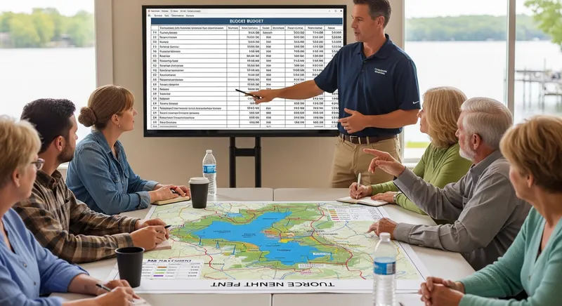
Ten-Year Lake Management Plan: Lake Wingra, WI
Lake Wingra, a 342-acre urban lake in Madison, WI, developed a comprehensive 10-year management plan coordinating the City of Madison, University of Wisconsin, and adjacent neighborhood associations. The plan addressed Eurasian watermilfoil, curly-leaf pondweed, and purple loosestrife through an integrated approach including targeted herbicide treatment, mechanical harvesting, native plant restoration, and public education.
Key outcome: The structured multi-agency planning process secured consistent funding across multiple budget cycles, a key advantage over ad hoc management. Native plant restoration efforts showed measurable progress in designated restoration zones within three years of initiation.
The seasonal timing guidance has been invaluable. Treating at the right growth stage cut our herbicide costs by nearly 30% without sacrificing efficacy on our county-managed reservoir.
Dale Buchanan County Parks Director, MI · Kalamazoo CountyRunning a golf course with three retention ponds means constant weed pressure. The prevention and best management practices guide gave us a systematic approach that replaced our reactive spray schedule.
Paul Esteban Golf Course Superintendent, SC · Myrtle Beach area